Huíla, Angola
Regional Development of Huíla
Following the studies from 1998, drawn up in a context of greater instability, this development plan aimed to update the previous one and a to add more comprehensive and in-depth approach to the reality of Huíla, with the definition of new guidelines based on the strong growth rates and the national reconstruction effort that was in progress.
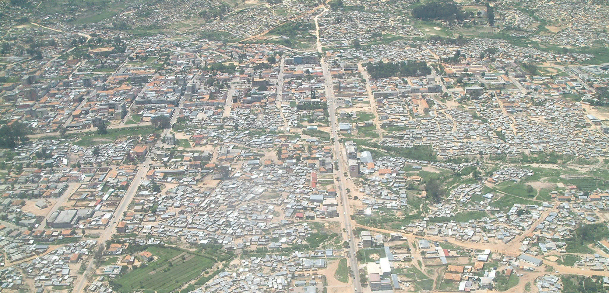
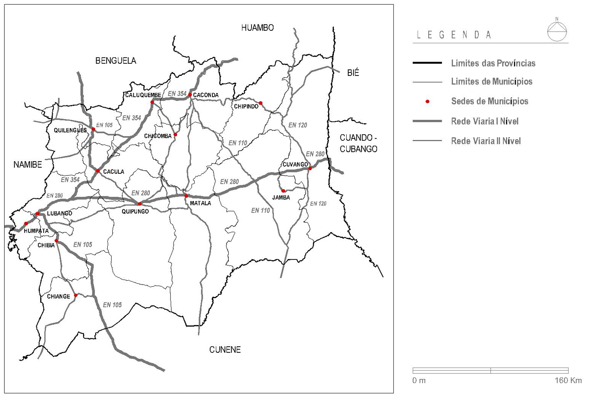
The analysis of the provincial urban system showed a reasonable coverage of the provincial territory by the urban agglomerations, which, however, showed greater development in the West, in the provincial capital (Lubango) and in the nearest centers that were served by the main transport connections.
The ongoing rehabilitation of the major transport infrastructure, which includes the rehabilitation of the Moçamedes Railway and the main national roads, is an indication of a more balanced development in the province.
The measures outlined in the plan emphasize the need to counter the excessive weight of Lubango in the urban network, through the creation or improvements of the North-South transport infrastructures that can help the development of smaller towns like Caconda, Caluquembe, Cuvango, Matala and Jamba, and greater development in the interior.
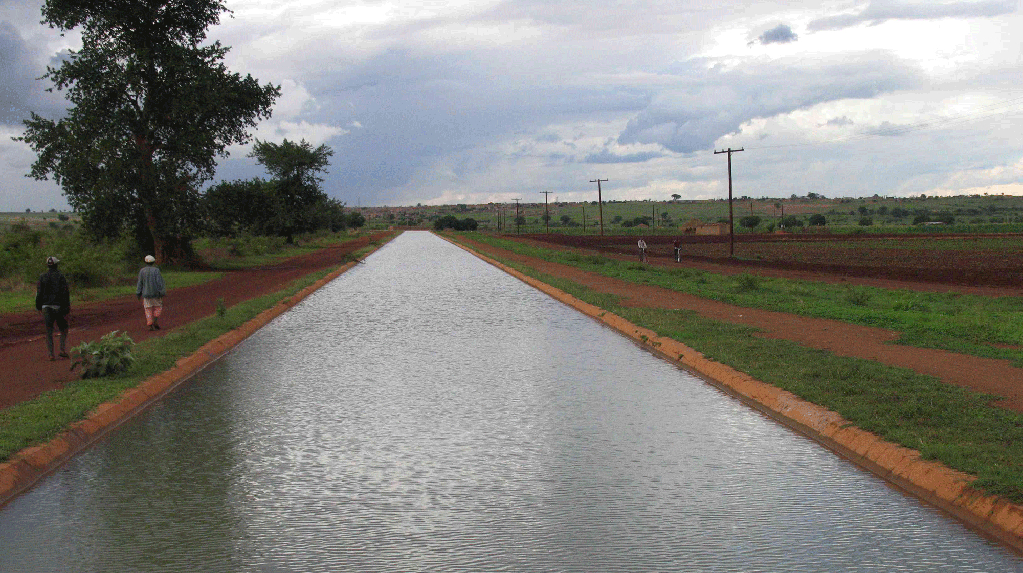
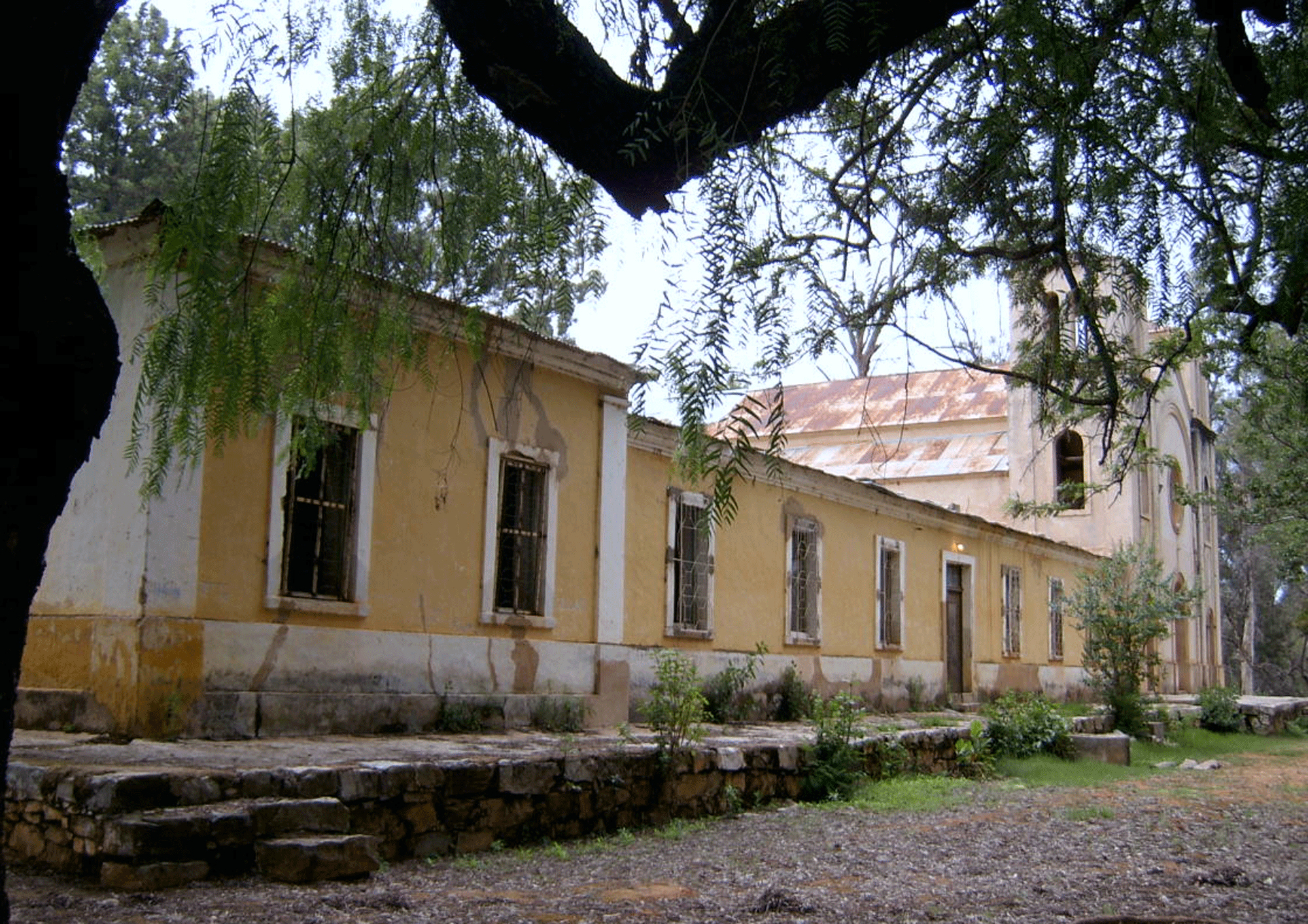
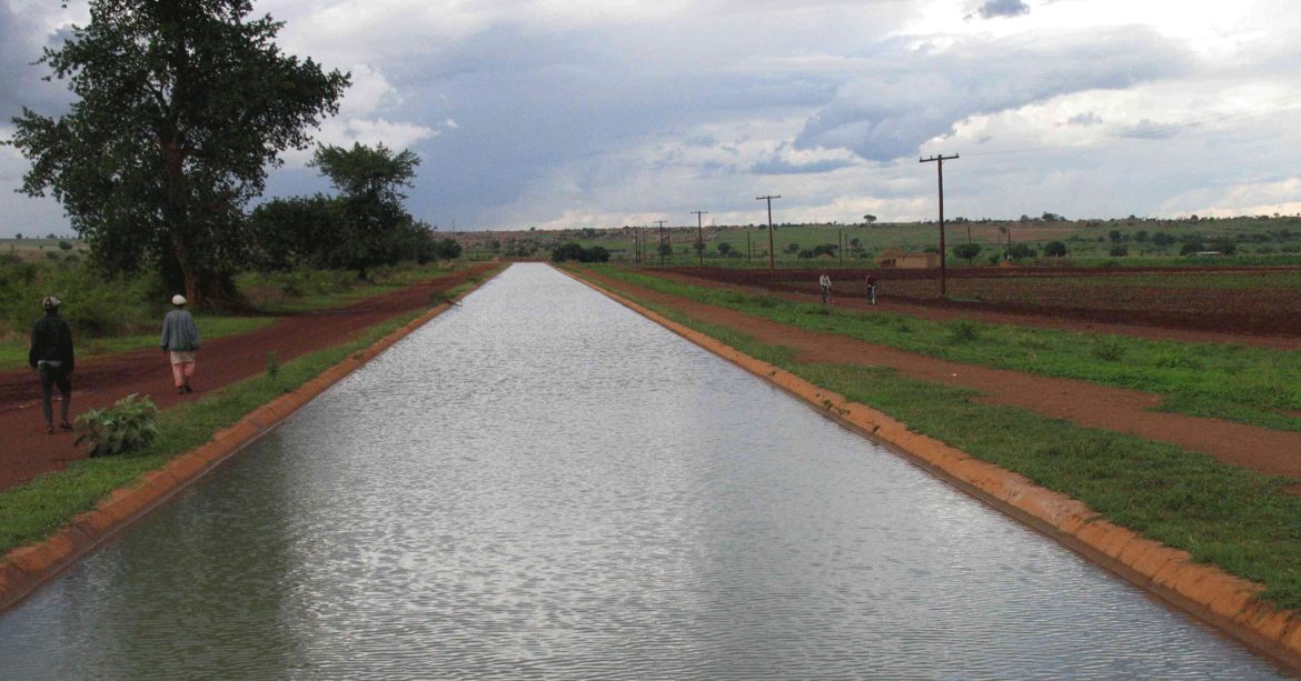
With regard to the built heritage, Huíla presents relevant estate compared to other provinces, which stems from an older effective occupation process, dating from the 19th century. Despite the greater relevance of Lubango, heritage is also significant in other locations like Matala and the villages along the Irrigation Channel, Caconda, the group of Catholic missions and several technical and research institutions from the colonial period.
Category
Urbanism
Location
Huíla, Angola
Year
2008
Client
Provincial Government of Huíla
Services
Urban Planning
Authors
SUB in partnership with SINFIC